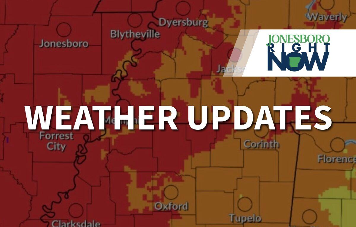

Jonesboro, AR – Jonesboro Right Now – Jonesboro and most of Northeast Arkansas are facing several heat alerts this week, as the National Weather Service predicts high heat indices.
The NWS said a heat advisory will be in effect until 6 a.m. Wednesday, with heat index values up to 109°F expected. Then, on Wednesday, July 1, through Thursday, July 2, Northeast Arkansas will be under an extreme heat watch.
“For the Extreme Heat Watch, dangerously hot conditions with heat index values up to 113 degrees possible,” the NWS said.
| WEATHER UPDATES: Click here for seven-day and hour-by-hour Jonesboro weather forecasts


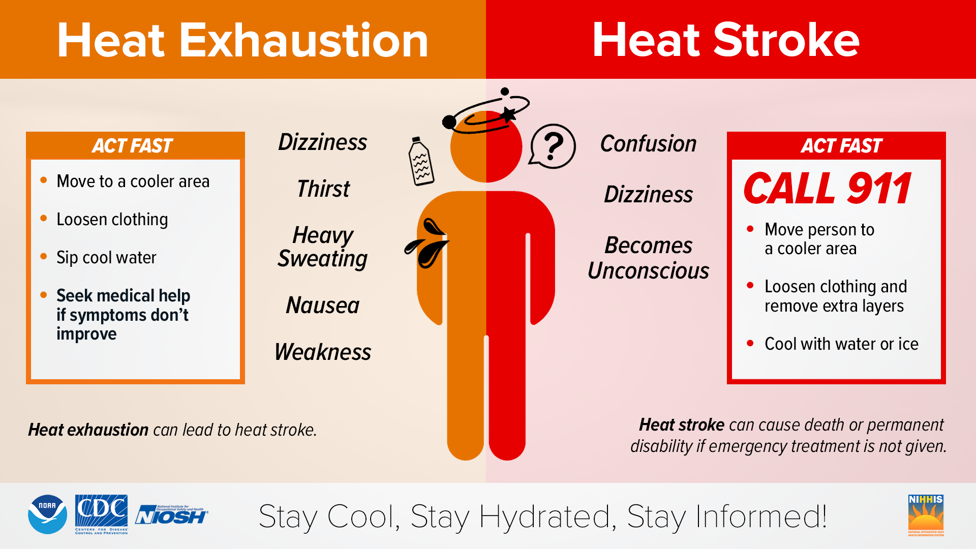
Heat-related illnesses increase during high heat and humidity weather events. The NWS encouraged people to drink plenty of fluids, stay in air-conditioned spaces, stay out of the sun, and to check on vulnerable family members, friends, and neighbors.
Anyone overcome by heat should be moved to a cool and shaded location. The NWS said heatstroke is an emergency and 911 should be called. Click here for symptoms of various heat illnesses.
To beat the heat, the City of Jonesboro is offering several cooling stations at its community centers across town. GOJO, the city’s public transit service, will provide free rides to cooling centers. Find the full list here.
| ADD US ON GOOGLE NEWS: Click here to see more local news from Jonesboro Right Now
In addition, the Parsonage, located at 305 S. Main St., said people needing a cool space and drink could take shelter at its restaurant.
“If you need a place to get out of the heat, our doors are open. You don’t have to order a meal. You don’t have to explain your situation. Just come in, have a seat, cool off for a while, and let one of our girls bring you a cold beverage; it’s on us,” a Facebook post from the restaurant said.
The Jonesboro forecast for the rest of the week is below:
- Monday: Sunny, with a high near 94°F. Heat index values as high as 109°F. South-southwest wind around 10 mph.
- Monday Night: Clear, with a low around 76°F. South wind 5 to 10 mph.
- Tuesday: Sunny and hot, with a high near 97°F. Heat index values as high as 109°F. Southwest wind around 5 mph.
- Tuesday Night: Clear, with a low around 76°F. South wind around 5 mph, becoming calm.
- Wednesday: Sunny and hot, with a high near 97°F. Calm wind becoming south around 5 mph in the afternoon.
- Wednesday Night: Mostly clear, with a low around 78°F. Calm wind.
- Thursday: A 20% chance of showers and thunderstorms after 1 p.m. Sunny and hot, with a high near 97°F. Calm wind becoming south around 5 mph in the afternoon.
- Thursday Night: Mostly clear, with a low around 77°F. South wind around 5 mph, becoming calm.
- Friday: A 20% chance of showers and thunderstorms after 1 p.m. Sunny, with a high near 95°F.
- Friday Night: Mostly clear, with a low around 77°F.
- Saturday (Independence Day): A 20% chance of showers and thunderstorms. Sunny, with a high near 95°F.
- Saturday Night: A 20% chance of showers and thunderstorms. Mostly clear, with a low around 77°F.
- Sunday: A 30% chance of showers and thunderstorms. Mostly sunny, with a high near 93°F.
Correction: The article originally indicated an extreme heat watch for June 1 and 2. The correct dates for the heat watch are July 1 and 2.
| DAILY BRIEF: Sign up for the Jonesboro Right Now Daily Brief Newsletter